Article
The Sands of Time: Uncovering the Indigenous History of Sandy Hill
A look at the geological and ancestral significance of the high sands overlooking the Choptank River.
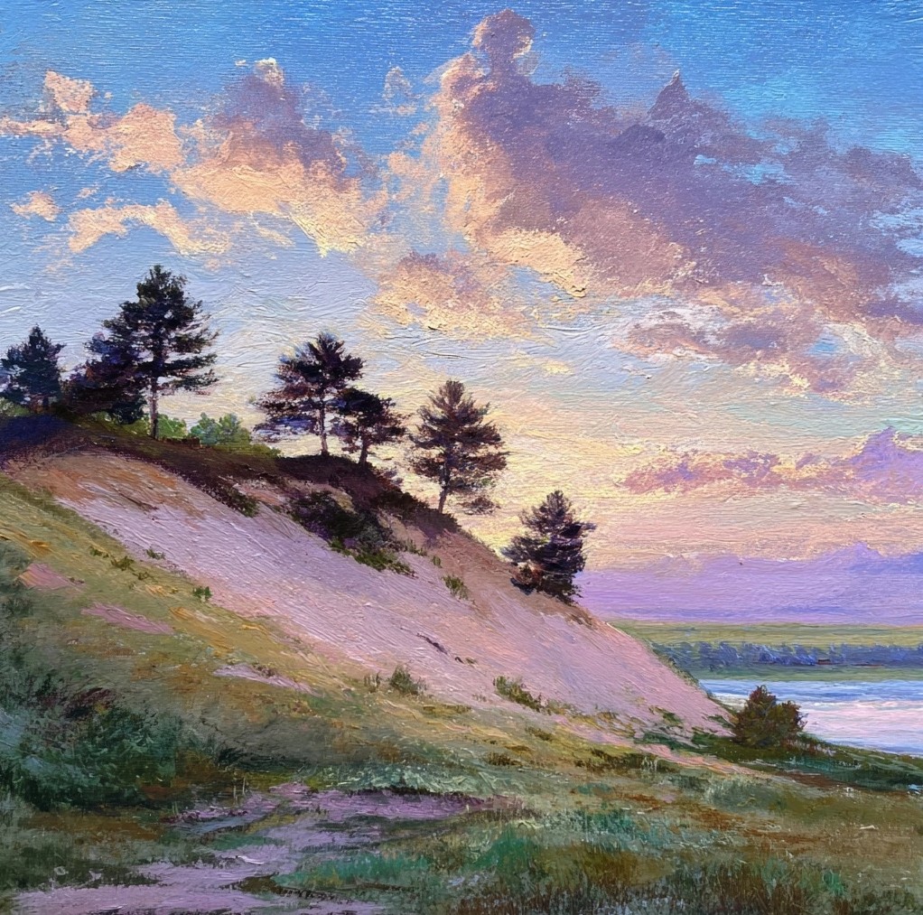
Along the western edge of Cambridge, where the Choptank River bends through Dorchester County, a geological curiosity rises above the surrounding lowlands. Known historically as Sandy Hill—and later part of the Algonquin community—this prominent landmark is defined by its high, sandy terrain. These are eolian deposits, formed over thousands of years by northwest winds sweeping across the river valley, creating a landscape distinct from the typical tidal marshes of the Eastern Shore.
While the dunes themselves are a prime product of wind and water, they have served as a vital anchor for human history for millennia.
Long before the first colonial surveyors arrived, these high sands were part of a vibrant Indigenous landscape. The area was inhabited by Algonquian-speaking peoples, most notably the Choptank and Nanticoke tribes, who formed part of the broader Eastern Algonquian confederation. For these communities, the Chaptank River was more than just a boundary; it was a lifeline. Seasonal camps and villages were strategically placed to take advantage of the river’s bounty, providing access to fishing, hunting, and gathering throughout the changing seasons. The convergence of the river's resources and the shelter of the sandy elevations made this a significant territory within the Chesapeake Bay watershed.
The ground beneath Sandy Hill holds deep, often hidden, secrets. During the 1920s, when sand quarrying operations were active in the area, workers uncovered a remarkable cache of large, ceremonial blades. These artifacts, tied to the Adena Culture—a Woodland-period tradition—are significant markers of the sophisticated craftsmanship and ritual life of the region's ancient inhabitants. While many of these pieces eventually found their way into private collections, their discovery provided a rare glimpse into the site's archaeological importance.
Beyond individual artifacts, Sandy Hill is also noted for its role as a sacred site. The area contains one of the largest Native American ossuaries (communal bone deposits) on the Eastern Shore. The presence of such massive communal burials underscores the long-standing spiritual and social significance of this specific landscape to the ancestral peoples of the Choptain.
As the colonial era progressed, the character of Sandy Hill began to shift alongside the changing economy of the Eastern Shore. Following the formation of Dorchester County in 1669, European settlers introduced large-scale agriculture, focusing on tobacco and grain. By the 1770s, records indicate that the area around Cabin Creek was being surveyed for milling operations, utilizing the river's proximity to support local industry.
In the late 19th century, a new era of residential grandeur arrived. In 1895, the construction of "Algonquin," a Colonial Revival house, marked a significant architectural milestone on the hill. This period saw the area transition from a site of primary production and indigenous habitation into a place of summer retreats for prominent figures, including U.S. Senator Raynor. It was during this time that the name "Algonquin" began to replace "Sandy Hill," honoring the region's deep ancestral roots even as the landscape modernized.
Today, the community of Algonquin stands as a modern chapter in this long and layered history. While much of the original landscape has been transformed by residential development and the growth of Cambridge, the essence of Sandy Hill remains. The high sands, the river views, and the profound weight of the ancestral past continue to define the character of this corner of the Eastern Shore.
As we move forward, recognizing these layers—from the wind-blown dunes and the Adena villages to the colonial mills and modern homes—allows us to appreciate the enduring significance of this place. Sandy Hill is not just a geographical landmark; it is a living chronicle of the people and the tides that have shaped the Choptank River watershed.